3D Model Reconstruction

Service overview

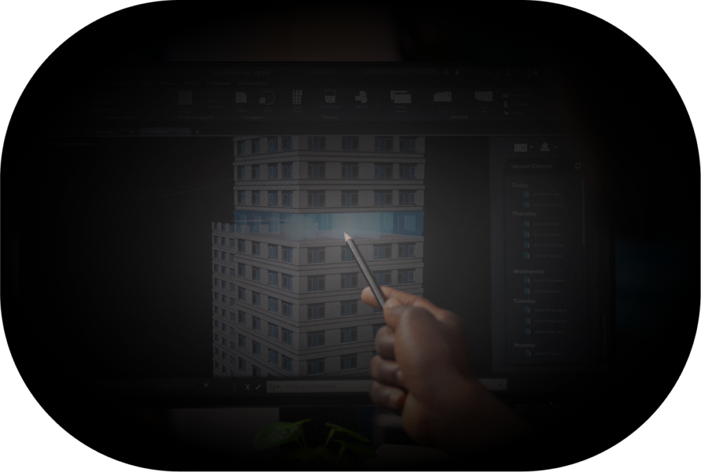
Gli aeromobili a pilotaggio remoto (UAV) possono essere utilizzati per la ricostruzione di modelli 3D di oggetti e ambienti. Grazie alla loro capacità di acquisire dati geospaziali* ad alta risoluzione, gli UAV possono raccogliere informazioni sulle caratteristiche dell’oggetto o dell’ambiente, come la forma, le dimensioni e la posizione.

Per creare un modello 3D, effettuano diverse riprese dallo stesso punto di vista, da diverse angolazioni e altezze, in modo da ottenere una visione completa dell’oggetto o dell’ambiente. Le immagini raccolte vengono poi elaborate da appositi software di elaborazione di immagini, che permettono di creare un modello tridimensionale dettagliato.
*I dati geospaziali sono informazioni che descrivono la posizione geografica di un oggetto o di un evento sulla superficie terrestre. Questi dati possono includere una vasta gamma di parametri legati alla posizione, come la latitudine, la longitudine, l’altitudine, la velocità, la direzione, la temperatura e altri ancora. Essi sono utilizzati in molte applicazioni diverse, come la geolocalizzazione, la navigazione, la cartografia, il monitoraggio ambientale e la gestione del territorio. I dati geospaziali sono acquisiti attraverso una serie di sensori di posizione, come il GPS, i sensori a infrarossi o le immagini satellitari.
High-resolution and
high-fidelity 3D rendering

Safe access to
hazardous areas

Level of detail unattainable
with traditional tools

Area of application

This 3D reconstruction process can be used in various fields such as architecture, civil engineering, archaeology, cartography, and agriculture. For example, a drone can be used to capture the shape and structure of buildings, bridges, and infrastructure, to create three-dimensional models of archaeological sites, or to map agricultural crops and forests.

The use of this tool for 3D reconstruction allows for obtaining detailed and precise information with a level of detail that would often be unattainable with other traditional tools.

DO YOU HAVE ANY QUESTIONS? CONTACT US!

Do you have any questions about our solutions or training courses? We would be delighted to answer all your questions and provide you with all the necessary information to help you achieve your goals. If you are interested in availing our services, discover how we can enhance your business with next-generation digital aviation technologies!

Phone: +39 3355318153
EMAIL:
info@unexgen.it
HEADQUARTERS:
Via Flavio Domiziano 9, 00145 Roma, Italia
P.I. 16801491008

DO YOU HAVE ANY QUESTIONS? CONTACT US!

Do you have any questions about our solutions or training courses? We would be delighted to answer all your questions and provide you with all the necessary information to help you achieve your goals. If you are interested in availing our services, discover how we can enhance your business with next-generation digital aviation technologies!

Phone: +39 3355318153
EMAIL:
info@unexgen.it
HEADQUARTERS:
Via Flavio Domiziano 9, 00145 Roma, Italia
P.I.
16801491008

error: Content is protected !!

NEW COURSE

Sora 2.5

DECEMBER 16-18

The SORA 2.5 course aims to provide an in-depth understanding of the SORA methodology, from operational categories to its application in various UAS scenarios. Participants will learn how to use this method through a practical case, thereby consolidating their skills in specific risk assessment.

10% DISCOUNT
FOR THOSE WHO REGISTER BY 11/15.